Higher Resolution Alerts Offer More Detailed Picture of Forest Loss
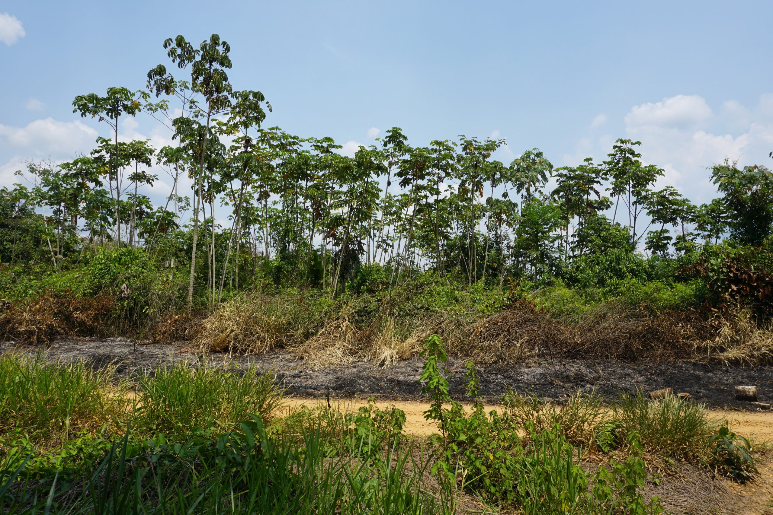
Deforested area close to Alegria, Madre de Dios.
-Yoly Gutierrez/CIFOR
There’s a new deforestation alert system in town, and it’s monitoring forest loss across the Amazon Basin in greater detail than ever before. The new 10-meter resolution GLAD-S2 alerts, based on the European Space Agency’s Sentinel-2 satellite program and developed by the University of Maryland (UMD), are now available on Global Forest Watch (GFW) and offer another tool to track changes in the Amazon (and soon the entire humid tropics) in near-real-time.
Here’s what you need to know about the new system:
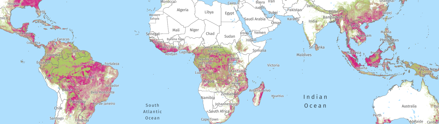
1. GLAD-S2 alerts are the highest resolution alert system for the Amazon Basin
The new alerts are based on the European Space Agency’s Sentinel-2 satellites with a resolution of 10 meters, which make them the highest resolution alert system available across the Amazon. The GLAD-S2 system offers much more detail than the Landsat-based GLAD alerts, with 6.25 GLAD-S2 alert pixels fitting inside a single GLAD pixel.
Because of their higher resolution, the new alerts pick up much more forest change than GLAD alerts. For example, in 2019, GLAD-S2 alerts detected about double the area of primary forest loss in Peru as GLAD.
The system brings improved resolution that is especially important for the detection of logging activities. The GLAD-S2 alerts pick up logging roads more consistently than GLAD, and also show small canopy gaps along those roads that are indicative of selective logging. Illegal logging is widespread across the Amazon, so being able to better track where logging is happening will provide a critical tool for law enforcement.
2. GLAD-S2 can detect changes faster than existing alerts in the Amazon
The Sentinel-2 satellites also have another advantage over Landsat, in that they cover every place on Earth every 5 days, compared to Landsat’s more than 8 days. That means we’re more likely to get a cloud-free image for a newly cleared area sooner than with Landsat, and can therefore detect the change and get it on GFW faster. In an assessment of the 2019 alerts in Peru, we found that GLAD-S2 detected new alerts an average of 11 days earlier than GLAD in 2019 – that difference rose to 33 days during the wet season.
Since the purpose of alert systems is to identify change as quickly as possible in order to promote action, the reduced delay from when a deforestation event happens to when it is detected is critical. It allows for an even more rapid response in the case of illegal or undesirable activity, which can ideally prevent more deforestation from happening.
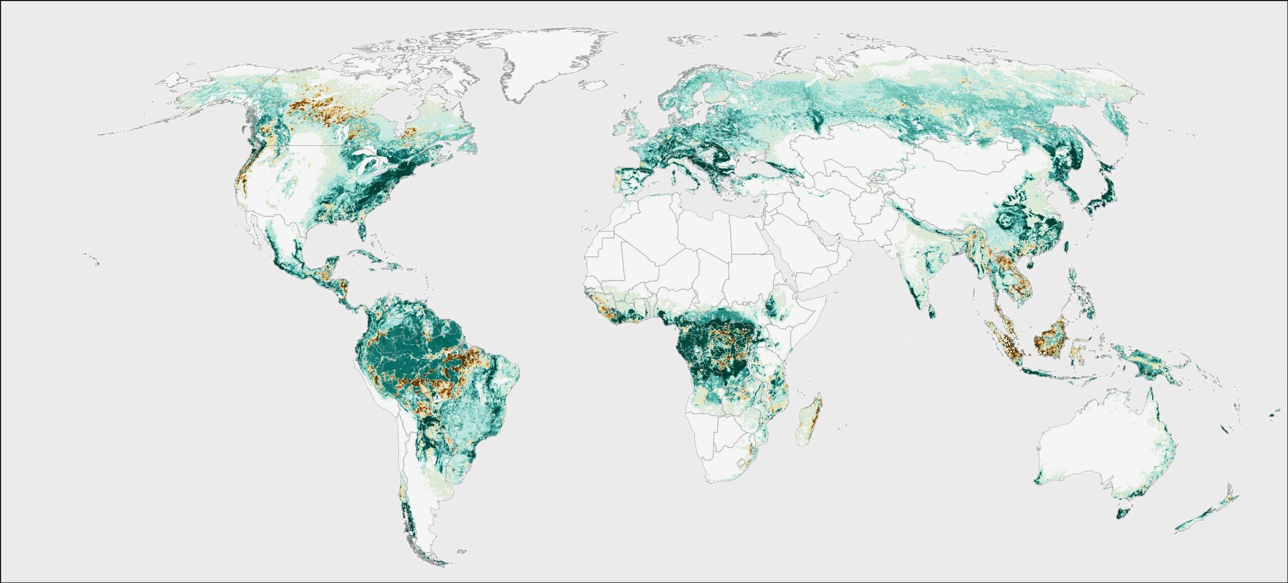
3. The new alerts cover primary forests in the Amazon Basin – for now
Right now, the system covers humid tropical primary forests in the Amazon Basin, which is the focus of All Eyes on the Amazon — a project that supports Indigenous Peoples and local communities in combatting deforestation and protecting human rights, and which funded the alert development. However, UMD plans to expand the GLAD-S2 system to eventually cover the entire tropics. The Sentinel-2 satellites have global coverage and UMD has overcome many of the challenges of processing these images, which will enable rapid scaling. We hope to have the system operational across the tropics by the end of 2021.
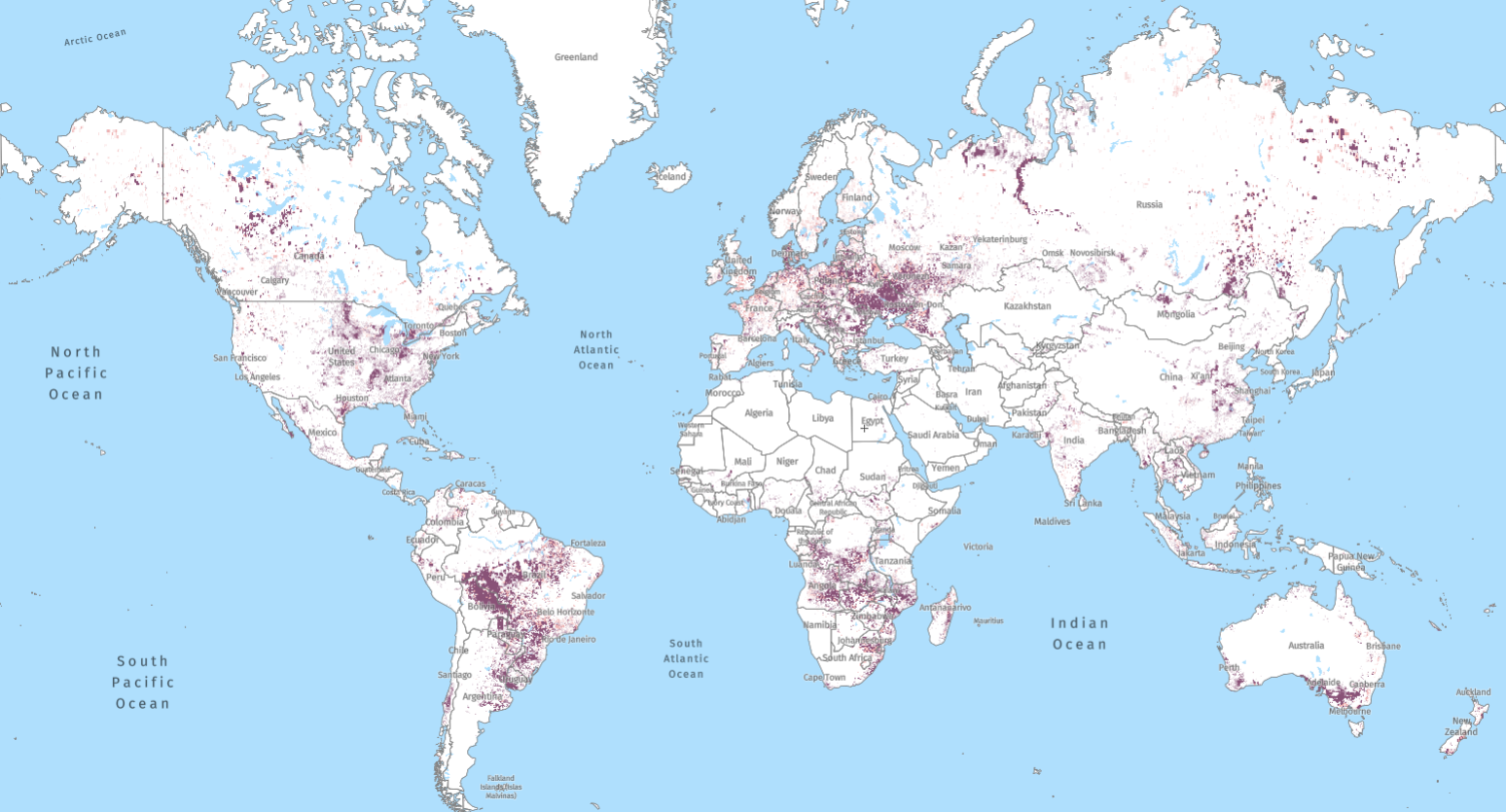
4. We’re working to integrate GLAD-S2 and other alert systems on Global Forest Watch
With the new GLAD-S2 system, GLAD alerts, and the radar-based RADD alerts recently released for tropical Africa and Asia, there are likely to be a lot of questions about the differences in these systems. We do not recommend a single “best” system, but instead view these systems as complimentary rather than competing. When put together, these systems can provide users with even more actionable information to halt deforestation.
We’re currently working on an integrated system that will allow users to view all of the alerts together on GFW rather than have to pick a single system. Since the systems are completely independent from each other, if two or more detect an alert in the same location, it gives us a lot of confidence that there is a real change. And having three different systems allows the detection and confirmation of changes faster than any one of them alone. More information about this integrated system will be available soon.
Check out the GLAD-S2 alerts on the GFW platform here or download the spatial data on UMD’s platform here. We’re working to fully incorporate the GLAD-S2 alerts into other GFW tools, including email subscriptions, Forest Watcher, and MapBuilder – stay tuned!