Cover Image by: Loren McIntyre/Alamy
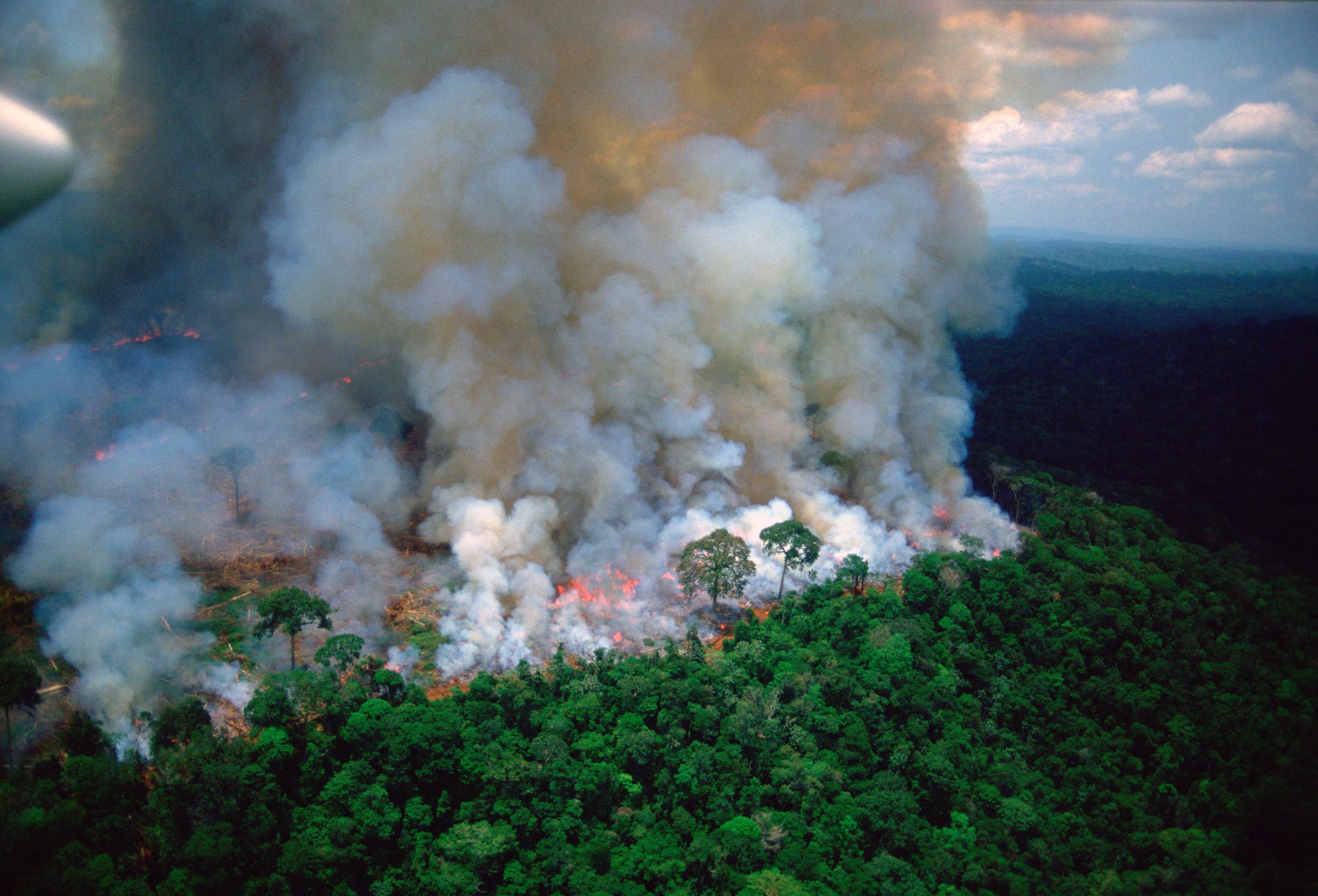
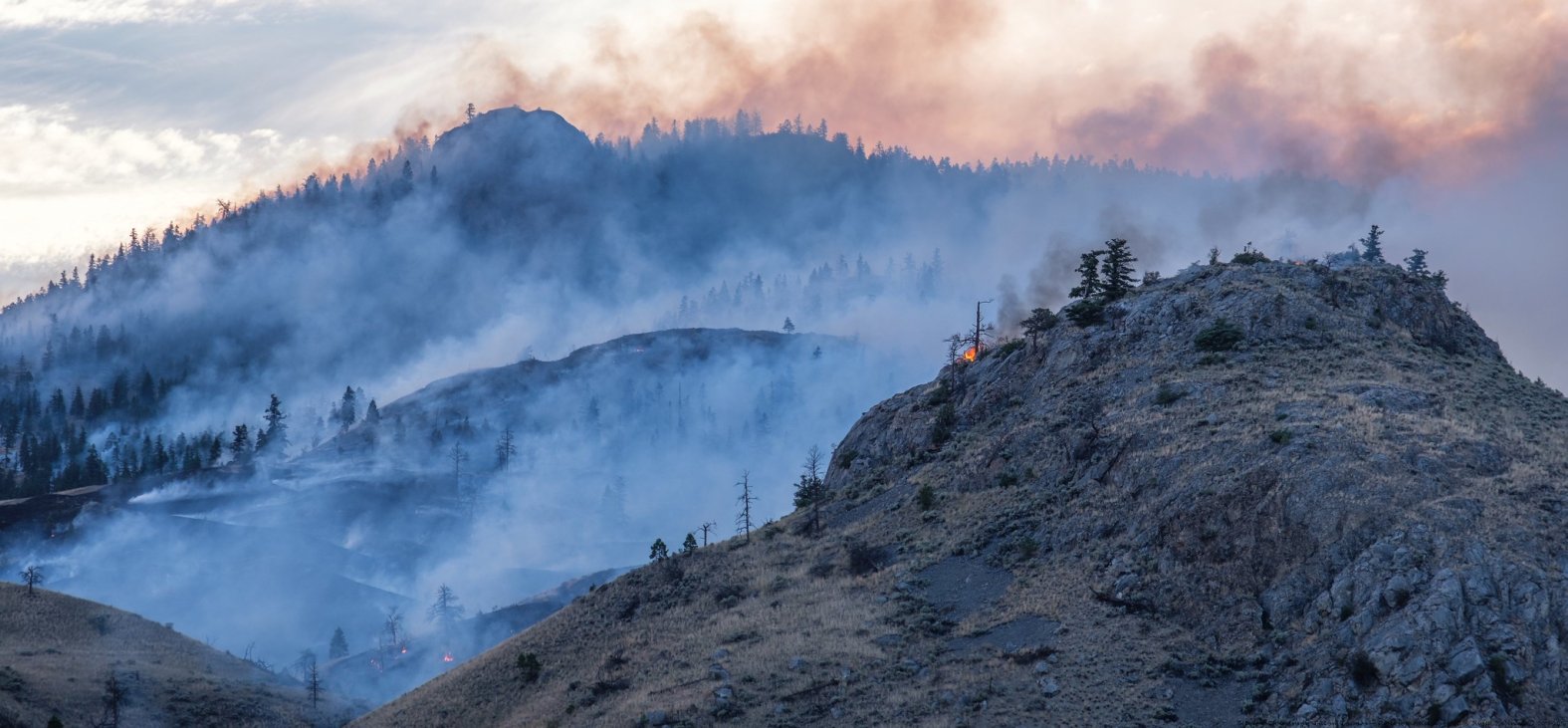
While some forests have evolved to adapt to wildfires, more frequent and intense fires are making even resilient forests more vulnerable.
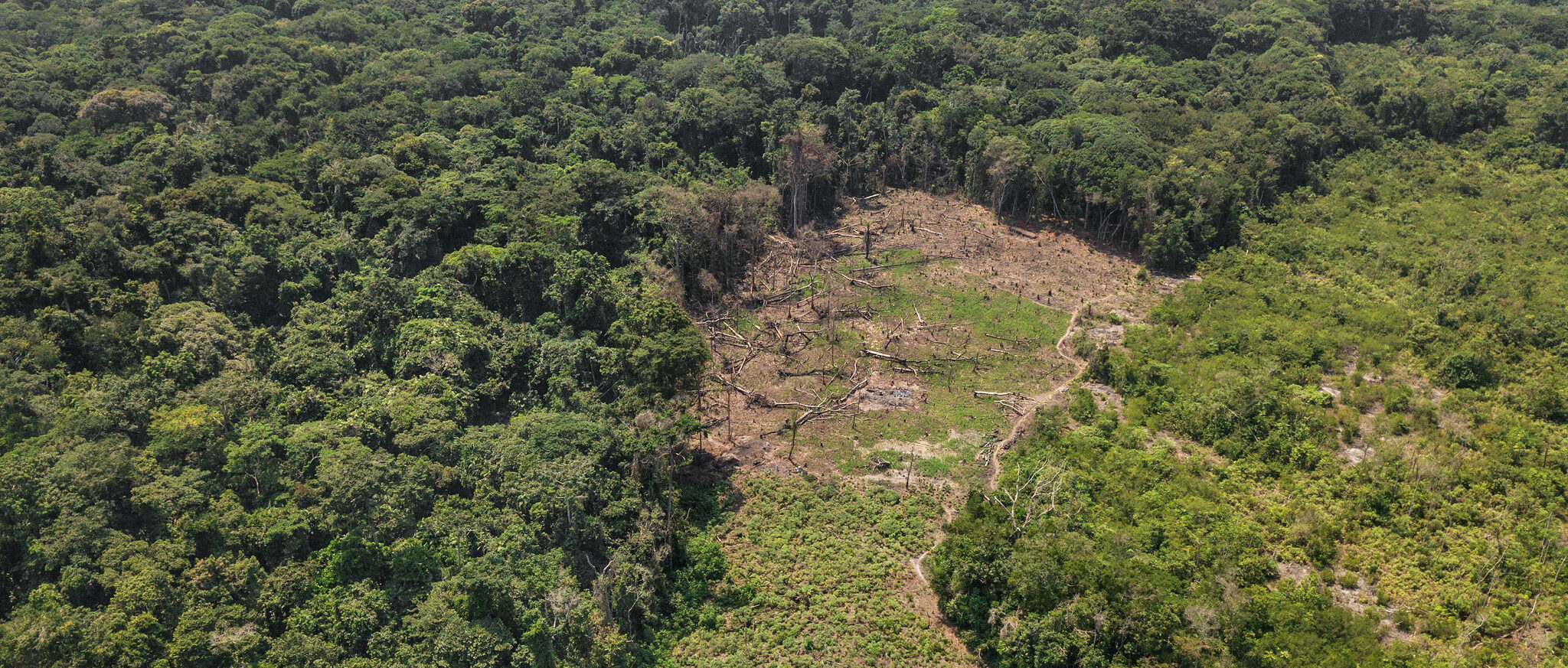
Forest loss been persistent in the Congo Basin over the last decade. Action is needed now to protect the region’s critical forests.
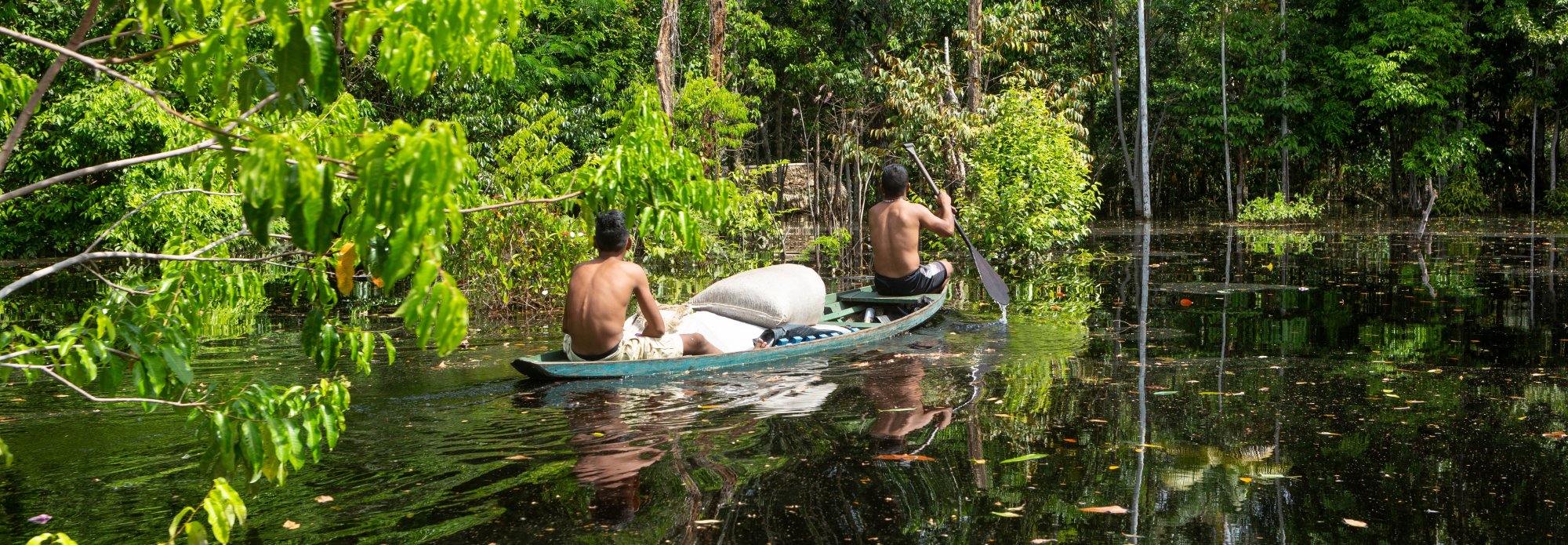
The world’s forests are assets that generate priceless benefits, but if neglected, they can quickly turn into liabilities.
fetching comments...