Embers Under the Earth: The Surprising World of Coal Seam Fires
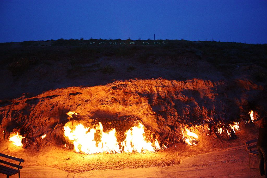
The world is on fire, and not just from forest fires or volcanoes. Across the globe hundreds of fires burn low and slow on dirty fuel beneath the earth, smoldering for decades or even centuries.
These fires are known as coal seam fires. They occur underground when a layer of coal in the earth’s crust is ignited. Due to the out-of-sight nature of the fires, they are often hard to detect at first, and even harder to extinguish. At any given moment there are hundreds of coal seam fires burning anywhere large coal deposits exist, from Pennsylvania to China to Germany. Due to their virtually endless supply of fuel and oxygen, many coal seam fires are expected to keep burning well into the next century.
Most coal seam fires are ignited by human activity, usually in the process of coal mining or waste removal. The town of Centralia, Pennsylvania has been on fire for more than half a century due to activities outside the local coal mine that caused the seam to combust. The origins of older coal seam fires, however, are not as clear. The Brennender Berg fire (which translates to “Burning Mountain”) in Germany has been burning since the 17th century and is believed to be a product of spontaneous coal combustion — when the right combination of pressure and oxygen causes the coal to ignite. In recent US history, coal seam fires have accounted for up to 15 percent of fires in coal mines.
 Damage from coal seam fire in West Glenwood, Colorado. Courtesy Photo / Wikimedia commons.
 Coal seam fires pose numerous safety hazards and economic issues. Like any fire-related natural disaster, they impact the communities in the surrounding area. They cause the ground to become extremely hot and unstable, destroying roads and homes, as well as creating fiery sinkholes that swallow anything from cars to people. A coal seam fire in Colorado in 2002 roared through almost 4,900 hectares (12,000 acres) of land and destroyed 29 homes.
Unlike forest fires, coal seam fires also release large quantities of toxic fumes such as mercury, methane, carbon monoxide and carbon dioxide which are present in the coal and can be deadly. Carbon monoxide, known as the silent killer, can cause flu-like symptoms and often death without warning. Metal toxins like mercury can also settle out of the air and into the ecosystem, contaminating food supply chains. At the moment, the total amount of greenhouse gases released from coal seam fires is not well studied, but scientists agree that the amounts may be substantial.
Not only do coal seam fires harm the environment and human health by burning uncontrolled, they also deplete non-renewable resources. Estimates of coal lost to these fires range from 20 million to 600 million metric tons of coal annually.
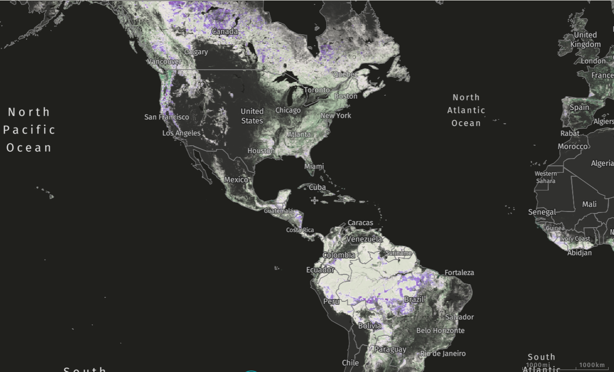
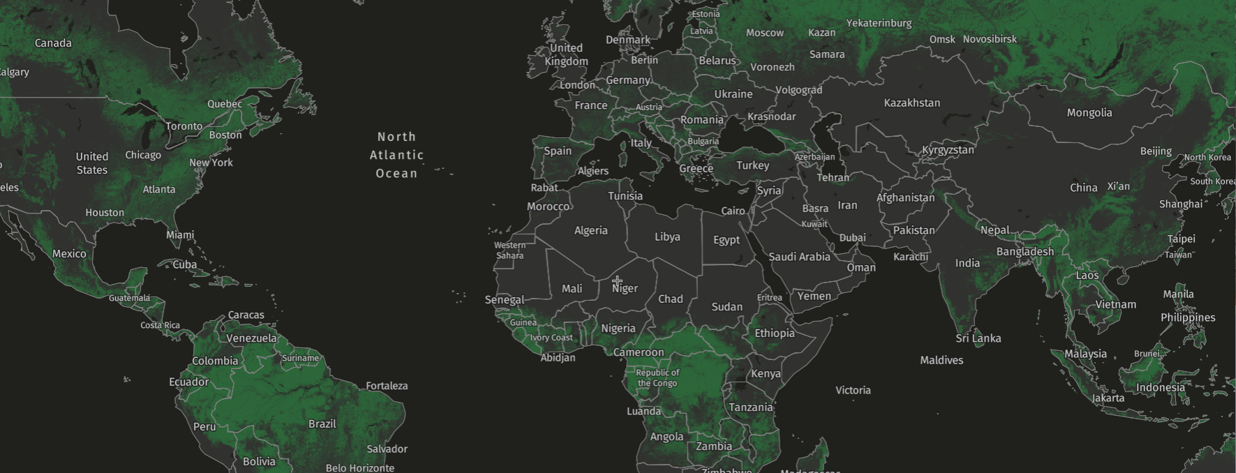
When they breach the surface of the earth, coal seam fires can sometimes be detected from satellites. GFW’s Fire’s platform uses data from NASA satellites to show active and historic fires across the globe. In order for fires to be recognized by the satellite, they must meet certain criteria; there can’t be too many clouds covering the fire, the temperature must be high enough to emit strong thermal radiation (specific wavelengths that the satellite measures), and must be at least 900 meters squared in size.
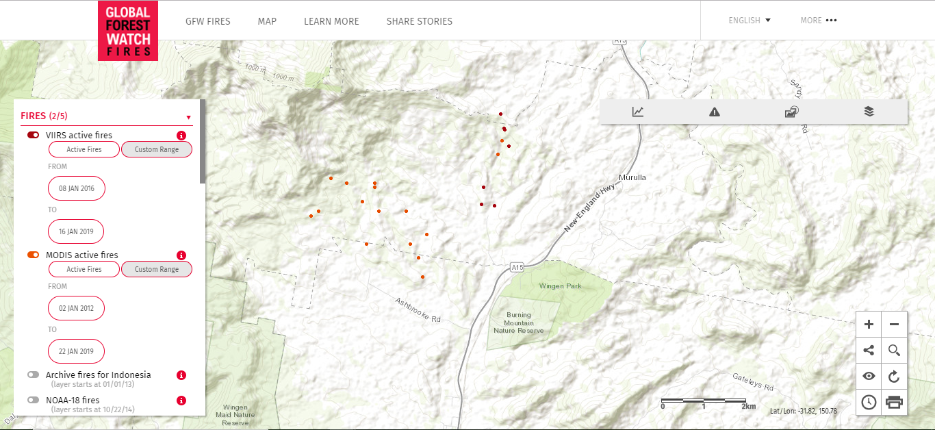 Burning Mountain in Australia, visible on GFW Fires.
Coal seam fires can burn for years, and many of them span hectares underground, so if only part of one breaches the surface, it will likely be detected on the GFW platform. The oldest known coal seam fire on earth, another “Burning Mountain” located in New South Wales, Australia has been active for over 6,000 years and is particularly visible. Over the past seven years, the fire has been picked up dozens of times, showing its general movement south across the landscape.
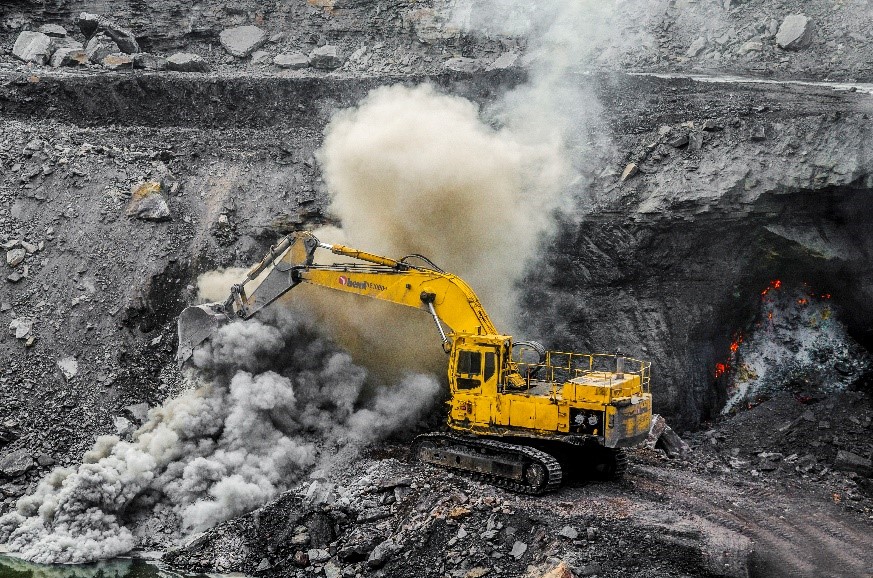 Excavation of a coal seam fire in China. Courtesy Photo / Wikimedia commons.
Extinguishing a coal seam fire is no small task, which is why the US congress eventually paid $42 million to relocate Centralian residents after spending hundreds of thousands already trying to put out the fire. Some commonly practiced techniques for putting out a coal fire include encasing the area in clay, injecting the area with water, or excavating the entire seam, which can become very expensive and destructive to the natural landscape.
Because it is essential to extinguish coal seam fires as early as possible, an early warning system like GFW Fires could help disaster response professionals monitor the activeness of these fires, track their movement over time and take action against newly emerging fires.
