Comparing Forest Extent in 2020 from Global Forest Watch and the Forest Resources Assessment

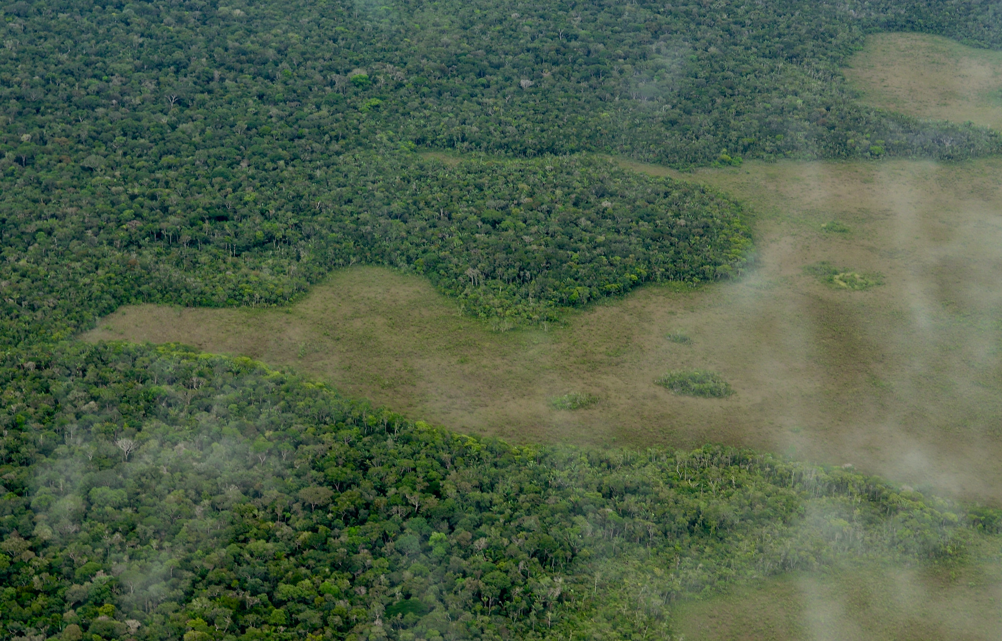
Aerial view of the Amazon Rainforest
-©Neil Palmer/CIAT
Global Forest Watch (GFW) and the Global Forest Resources Assessment (FRA) from the Food and Agricultural Organization of the United Nations (FAO) both provide global data sets with information on the world’s forests. The latest FRA was released in 2020, and when compared to 2020 data on forest area from the University of Maryland (UMD), available on GFW, we see similarities and differences. So how similar are the numbers and what could explain the differences? This blog compares the forest extent from these two data sets, discusses why there are differences and explains what this means for users. To learn more about general differences between data on GFW and FRA data, check out this blog.
What was the area of trees and forests in 2020 according to UMD and FRA data?
Extent of trees and forests globally and by region in 2020 (in million hectares — Mha)
| Africa | Asia including Russian Federation | Europe, excluding Russian Federation | North and Central America | South America | Oceania | Global |
UMD tree cover extent 2020 | 674 Mha
| 1,483 Mha
| 204 Mha | 675 Mha | 834 Mha | 147 Mha | 4,018 Mha
|
FRA forest area 2020 | 637 Mha | 1,438 Mha | 202 Mha | 753 Mha | 844 Mha | 184 Mha | 4,059 Mha
|
Difference of UMD extent as compared to FRA | +5.6%
| +3.0%
| +1.0%
| -11.5%
| -1.2%
| -24.8%
| -1.02%
|
Globally and regionally, tree/forest cover as estimated by UMD data and the FRA are similar. Global estimates of forest area in 2020 only vary by about 1% (4,059 million hectares — Mha — for the FRA and 4,018 Mha for the UMD data).
At the regional level there are many similarities, with very small differences for Asia, Europe and South America. Oceania shows the largest difference at the regional scale, which is almost entirely attributable to the FRA’s greater estimate of forest area in Australia — Australia’s FRA forest area is 52% greater than UMD’s tree cover extent. This may be because Australia’s definition of “forest” specifies a minimum vegetation height of 2 meters, which is used in the FRA estimate. The majority of countries in the FRA follow the FAO definition of a minimum vegetation height of 5 meters, which is also the height threshold used in this blog for analysis of the UMD data.
Forest area/tree cover 2020 according to UMD data on GFW and the FRA
In central Africa and Southeast Asia, UMD’s tree cover estimates are typically greater than the FRA’s forest area estimations. In Malaysia, for example, UMD’s estimate is 33% higher than the FRA’s (28.6 Mha for UMD vs. 19.1 Mha for FRA). This may be explained by the difference in definitions, for example Southeast Asia typically contains large areas of oil palm plantations, which would be considered tree cover according to UMD but not forest according to the FRA.
For a better comparison, it would be useful subtract the area of tree plantations recorded in the Spatial Database of Planted Trees, which incorporates a number of different tree crops and planted trees, from the UMD tree cover estimate to better match the UMD data with the FAO forest definition. In the instance of Malaysia for example, excluding oil palm plantations from UMD tree cover results in an area considerably closer to the forest area reported in the FRA.
For some countries, the UMD tree cover extent matches the FRA forest extent very closely. For example, FRA’s forest area estimate for Chile is only 0.1% less than UMD’s. Another example is Nigeria, where the FRA forest area is just 5% less than UMD’s tree cover (21.6 Mha for FRA and 22.7 Mha for UMD).
The forest area according to the FRA and UMD data have not always matched so well though — the FRA estimate for forest extent in 2000 (reported in the FRA 2015) was 46% less than UMD’s tree cover area (for the year 2000). Nigeria significantly changed their forest area figures for 2000 as reported in the 2020 FRA, based on the availability of more and better data, resulting in the FRA and UMD figures becoming much more similar (3% difference).
Some countries showed higher estimates for FRA forest areas than UMD tree cover extent, for instance, many of the Nordic European countries and Canada. Again, the difference between the definitions of tree cover used in UMD and forest area used by FRA likely explains the differences. According to the FRA 2020, a substantial proportion of forested areas in these countries are production forests, meaning that vast areas of land temporarily unstocked due to timber harvesting are included as forest area for the FRA. UMD does not include these regions, nor areas that have been regenerated but have not yet reached the UMD height threshold, as tree cover.
What does this mean for those using UMD and FRA data?
Estimates by UMD and the FRA of tree cover and forest can vary, in some cases substantially within a country. The same patterns are not seen for all countries; some countries have higher estimates according to UMD, and for others, FRA estimates are higher. In many cases, these can be explained when taking into account the different forest definitions used.
Because of their differences, both data sets can be useful for different stakeholders. Read our blog Global Forest Watch and the Forest Resources Assessment, Explained in 5 Graphics to learn more about different ways the UMD and FRA data can be used. In the end, it’s important for users to know the differences between the data sets to help them decide which data will best meet their needs.
Explore More Articles

Looking for the Quickest Signal of Deforestation or Vegetation Disturbance Globally? Turn to GFW’s Integrated Disturbance Alerts
GFW’s integrated alerts layer combines the power of four alert systems for an improved view of deforestation and other vegetation disturbances globally.

