What can Tree Cover Gain Data Tell Us About Restoration? Perspectives from Brazil

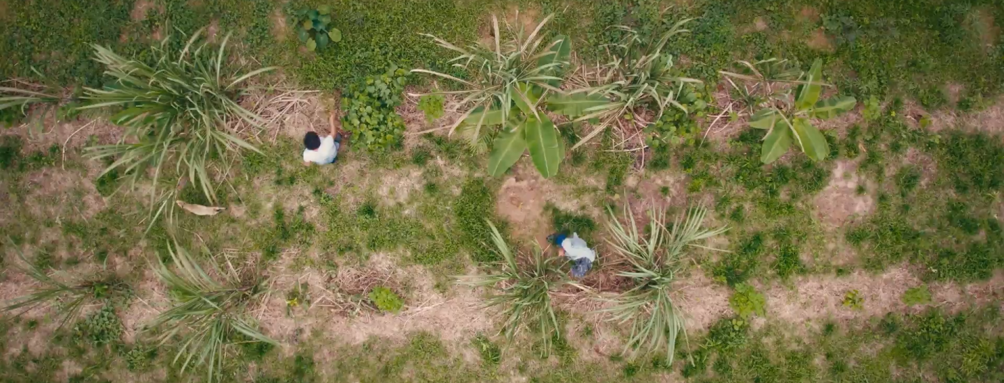
Credit: Yantra Imagens
In 2022, Global Forest Watch (GFW) in partnership with Land & Carbon Lab released new tree cover gain data from the University of Maryland that shows where and how much land has gained tree cover globally between 2000 and 2020. This data set provided much-needed information to complement data on tree cover loss, revealing a more complete picture of forest change dynamics.
We’ve now added a new dimension to the gain data showing not just the cumulative change between 2000 and 2020, but also how much tree cover was gained in the intervening five-year periods — 2000-2005, 2005-2010, 2010-2015, and 2015-2020. Data from these intervals provides valuable information on the global trajectory and pace of gain, which can help us better track the extent to which tree cover is coming back. This can include gain resulting from forest landscape restoration, which typically involves a variety of strategic interventions that lead to increased tree cover across the landscape.
While we now have a better global picture of tree cover gain, the data captures a wide variety of forms of tree cover, from industrial scale monoculture of Eucalyptus and oil palm — which are not typically considered forms of restoration — to regenerating natural forests. This means that though the data does include gain resulting from forest landscape restoration, it is difficult to identify or measure the success of restoration investments and interventions using the tree cover gain data alone.
Some contextual data, such as mapped plantations from the Spatial Database of Planted Trees, can provide additional information that can help users distinguish gain in plantations from more natural forms of tree cover gain. However, local information — such as geographic information on where and what type of restoration activities are taking place — is the most useful for interpreting what is actually occurring in different locations and whether it would count toward achieving global targets.
In this blog, we explore a few such examples in Brazil where we see areas of gain, but that represent very different scenarios for what is happening on the ground.
Tree cover gain data can capture restoration successes
Landless Rural Workers Movement supports forest regeneration in Pará State
The Landless Workers’ Movement (MST) is a national social movement in Brazil that focuses on agrarian land reform, seeking to achieve a self-sustainable way of life for rural poor in the country. It is the largest rural network of smallholder farmers in Latin America, supporting more than 450,000 families.
In 2004, MST began occupying the Abril Vermelho settlement in Pará State, an area of 6,668 hectares that had previously been used for oil palm monoculture and belonged to a bankrupt palm oil company. The land was then designated for agrarian reform and became a rural settlement. Today, Abril Vermelho has more than 300 families dedicated to producing food with sustainable practices.
When MST arrived, the land was degraded including an unbalanced insect population, poor soil quality and deteriorated water springs. MST first planted small crops of beans, corn and manioc. Over the years they experimented with several management practices to improve soil productivity, cope with pests and improve water quality and quantity. The settled families practiced agroecology, an approach focused on the recovery of native vegetation through the elimination of oil palm production areas, allowing the forest to regenerate.
The main practice in the settlement today is agroforestry, where food crops are introduced in the regenerating forests, or native tree species are planted among food crops.
The tree cover gain data captures the successful restoration efforts that resulted from forest regeneration and native tree species planting. The data shows that the landscape of Abril Vermelho gained a total of 1,981 hectares between 2000 and 2020, with the vast majority (89%) of the new tree cover gained between 2000 and 2010, corresponding with when MST began occupying and settling the area.
Blue pixels show the tree cover gain in the Abril Vermelho settlement area.
Forest restoration and assisted natural regeneration in the settlement became part of MST’s program “Plant Trees – Produce Healthy Food” launched in 2020, which aims to plant 100 million trees all over the country. Besides being a significant contribution for their agroecology practices, this initiative is a strong contributor to Brazilian restoration goals and Nationally Determined Contributions (NDCs). Future updates to the gain data combined with local information will help to visualize and measure the impact of this initiative.
Restoration of ecological corridors gives hope to black lion tamarin population in São Paulo
In the Pontal do Paranapanema region, located in the western corner of São Paulo state between the Parana and Paranapanema Rivers, a project to save the endangered black lion tamarin evolved into a landscape-scale restoration project that has successfully restored thousands of hectares of forest cover to support the lion tamarins’ habitat. Once thought to be extinct, the population of black lion tamarins has recovered significantly, largely due to the landscape-scale restoration in and around the only forests where they are known to exist.
A combination of factors and collaboration across several sectors led to the successful restoration of the region. These factors included scientists and researchers educating local farmers about conservation and agroforestry, agreements with government to include conservation area in land titles for newly settled farming communities, and coordination among local farmers and researchers to set aside certain areas to create forest corridors that allow the tamarins and other wildlife to move freely between the larger forests of Morro do Diabo State Park and the Mico Leão Preto Ecological Station. Brazil’s forest code, which obligates landowners to reforest riparian areas, created an incentive for reforestation of these corridors, and funding for the restoration activities was secured through dozens of organizations via voluntary carbon markets.
The tree cover gain data shows the results of these efforts for forest recovery. The Pontal do Paranapanema landscape gained a total of 2,476 hectares of tree cover between 2000 and 2020 with nearly three-quarters of that gain occurring after 2010, which reflects the dedicated efforts of the community to reforest the ecological corridors that began in 2012.
The tree cover gain data also shows the results of restoration across the ecological corridors connecting the Morro do Diabo State Park to the Mico Leão Preto Ecological Station.
Blue pixels show the tree cover gain in forested corridors between the forests of Morro do Diabo State Park, the Mico Leão Preto Ecological Station, other patch forest and the Paranapanema River.
Not all tree cover gain is restoration
Production forests dominate the landscape in Southern Bahia state
Southern Bahia in eastern Brazil is known for its diverse ecosystems and agricultural practices. Though one of the main agricultural activities, growing cacao, uses agroforestry systems, the region has also been a significant hub for cultivating eucalyptus over the past few decades. Eucalyptus is a non-native species that is used in manufacturing pulp and paper as well as various other uses like energy.
Historically, companies were drawn to the region due to the availability of large, inexpensive tracts of land that were ideal for mechanized practices. The favorable climate and soil conditions supported the rapid growth of tree species like eucalyptus and pine. Additionally, government policies, including fiscal incentives and investments from the National Social and Economic Development Bank (BNDES), further encouraged the expansion of tree plantations. Many of these plantations were established on previously degraded lands implementing ecological zoning systems to ensure ecosystems protection, promoting ecological restoration and native species in a “mosaic approach,” and adopting sustainable forestry practices, such as reduced-impact logging and maintaining buffer zones around water bodies to prevent soil erosion and protect water quality.
This has attracted large companies to grow and harvest eucalyptus, resulting in high eucalyptus production. Due to the expansion of eucalyptus and native species, the Southern Bahia region gained 220,100 hectares of tree cover between 2000 and 2020, which translates to a more than 5% increase in tree cover.
In Bahia state, tree cover gain is widespread, but represents a large network of eucalyptus plantations and monoculture, which is typically not considered restoration.
Detailed view of eucalyptus plantations in Nova Viçosa, Bahia, Brazil.
Despite the increase in tree cover captured by the tree cover gain data, these plantations are not typically considered restoration. This is because plantations, especially those involving non-native species, do not restore the original biodiversity and ecological functions of the native ecosystems they replace. While they may contribute to carbon sequestration and other ecosystem services, they are not considered true ecological restoration.
In the case of Southern Bahia, the consolidation of land ownership by the companies cultivating eucalyptus has caused conflict with local organizations and communities due to impact on the landscape, among other issues. An initiative was established in 2005 that led to a national Forest Dialogue and regional forums to promote collaborative efforts to minimize the environmental impacts of eucalyptus plantations. Now, a program led by the Forest Dialogue has assigned several locations as conservation areas, and the companies are enacting restoration programs and initiatives to form ecological corridors.
Future data will reveal whether the region continues to gain tree cover. However, more localized information will be necessary to determine how much of this gain can be attributed to the restoration efforts led by those companies and how much is due to plantations. As a start, we know that there are 19,300 hectares of restoration reported in the Bahia state in the Brazilian Restoration and Reforestation Observatory, although the amount of reported restoration is known to be underrepresented.
What does this mean for using the tree cover gain data?
The new data on tree cover gain represents a significant step forward in understanding the dynamics of forest change from space, and as the best-available global data, significantly expands the scale at which we can view such changes. Being able to see this gain in five-year intervals, instead of just as one 20-year cumulative sum, provides important detail on the timing of when new tree cover was established and the trajectory, which are important for monitoring efforts and tracking restoration targets over time. Additionally, when combined with data on tree cover loss, it provides the missing piece on calculating net tree cover change.
However, there are limitations in how this data can be used. Satellites can more easily capture taller trees with at least 10% canopy cover — which means that newly sprouting growth is seldom counted. Furthermore, even though the new five-year periods provide a more complete picture of gain, there is still a lag time between when tree growth begins and when it can be detected.
The Bonn Challenge, UN Decade on Ecosystem Restoration and other major global initiatives have helped national governments and other communities to set priorities and channel investments toward restoration, but global data on tree cover gain or other types of land cover change alone can’t measure their success. Detailed landscape restoration plans, as well as georeferenced information on local projects and investments, are still important for understanding the scope and scale of restoration success.
For example, the TerraFund for AFR100 initiative, which channels funding to restoration projects in Africa, has developed a Monitoring, Reporting, and Verification Framework that outlines a clear set of indicators and standards for how to measure and report information on restoration progress, integrating both field-based and satellite-based sources of data.
Further advancements to the tree cover gain data will continue to improve its usefulness. For example, dedicated research to differentiate natural tree cover gain from industrial or plantation-based gain has been successfully applied to a prior version of tree cover gain data, with plans to expand this research to the 20-year gain data shortly. But in addition to improving global data, tying local information on actions to the global data on change will continue to be critical for monitoring restoration at scale, and having confidence that we are achieving our goals to restore degraded landscapes.


