Filter by category and topics
FILTER BY CATEGORY
FILTER BY TOPIC
SHOWING 3 OF 3 POSTS
Nov 26, 2019|Users In Action|4 minutes
Hutanwatch Spearheads Forest Data Transparency in Malaysia
It started off as a side project. Global Forest Watch (GFW) user, JD*, had a day job at the time — and still does — working with NGOs on forest and land use issues in Malaysia. JD was frustrated with the difficulty of finding reliable maps of forest cover for the country. Much of the […]
Nov 18, 2015|Forest Insights|4 minutes
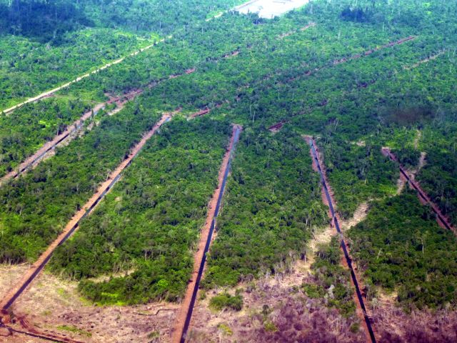
New GFW Maps Show Vast Logging, Oil Palm and Plantation Concessions in Sarawak
By Rachael Petersen, Samantha Gibbes and Mikaela Weisse Sarawak, a Malaysian state on the historically richly forested island of Borneo suffers from high rates of deforestation, but understanding this dynamic is made difficult by government secrecy and lack of transparency. Official maps of logging, oil palm and wood fiber concessions for Sarawak are hard to come by; the government does not […]


