Indigenous Peoples and Local Communities Are Using Satellite Data to Fight Deforestation
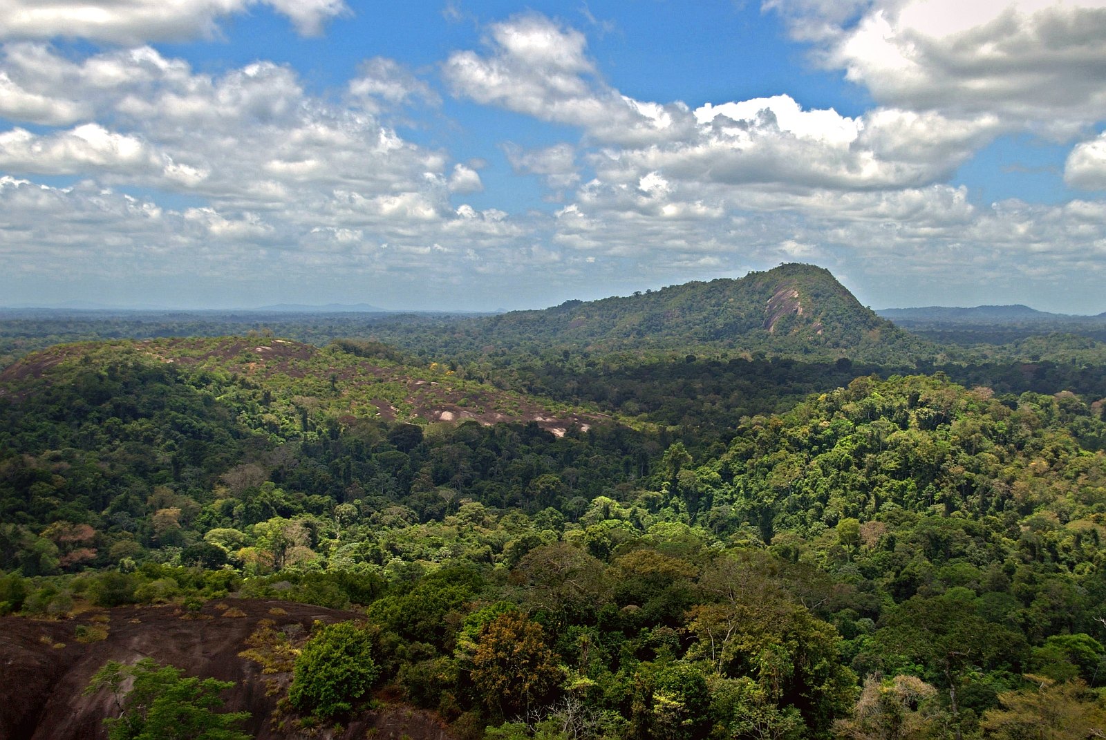
Forest in Suriname. Credit: David Evers, Flickr, CC BY 2.0
The Saamaka, an Afro-descendent tribal community, reside deep in the heart of Suriname’s Amazonian rainforest. They’ve maintained their plots of land and small farms for generations, relying on the bounty of fruits, nuts and medicines the surrounding tropical forest provides.
But lately, their forested territory has seen unwelcome visitors.
A logging company began bulldozing a road right through the Saamaka’s forest in early 2023. While the Suriname government sanctioned the logging concession, it came without the Saamaka’s consent, despite a 2007 ruling from the Inter-American Court of Human Rights requiring their approval for such projects. The road is just the latest threat facing the Saamaka’s land, on top of flooding from hydropower dams and water pollution from nearby mining operations.
“We are losing our very way of life — our food, our water, our land,” said Hugo Jabini, a community leader and spokesperson for the Saamaka. “We can no longer afford to be invisible.”
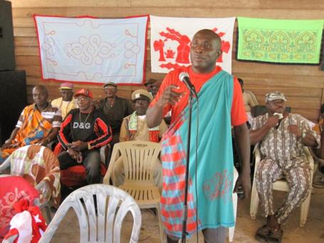
The Saamaka’s story is a common one. Indigenous Peoples and local communities hold some of the most pristine and resource-rich lands in the world — areas highly coveted by mining and logging companies and other profiteers. Land grabs and other threats are especially severe in places where the government does not recognize communities’ land rights, or where anti-deforestation and other laws are weak or poorly enforced. It’s the reason many Indigenous Peoples and local communities often take land monitoring into their own hands — and some are now using digital tools to do it.
Freely available satellite imagery and data from sites like Global Forest Watch and LandMark provide near-real-time information that tracks deforestation and land degradation. Indigenous and local communities are increasingly using tools like this to gather evidence that deforestation and degradation are happening on their lands, build their case against illegal activities and take legal action to prevent it from continuing.
Three examples from Suriname, Indonesia and Peru illustrate a growing trend in fighting land rights violations with data.
In Suriname, Deforestation Data Reveals Threats to the Saamaka’s Land Rights
In 2007, the Inter-American Court of Human Rights compelled the government of Suriname to recognize the traditional land rights of the Saamaka and other Indigenous and community groups in Suriname. Yet satellite data from Global Forest Watch shows that since the judgment in 2007, tree cover loss actually increased in the Saamaka’s lands, largely from logging and mining activities. Tree cover loss inside government-granted logging concessions in and surrounding the Saamaka territory totaled 44,700 hectares, a 5.5% loss in tree cover from 2001-2022.
Monthly satellite images from March 2023 to October 2023 show the gradual construction of a road being carved through the heart of the Saamaka territory and leading to a government-granted logging concession. The Saamaka say the road was constructed without their knowledge or consent.
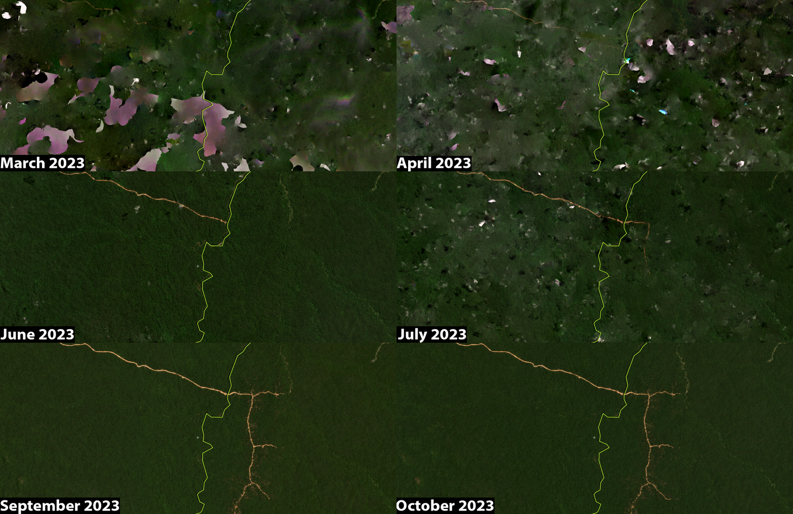
Armed with this data and imagery, Jabini and seven other representatives from Suriname’s Indigenous and local communities traveled more than 2,500 miles to Washington, D.C., presenting their evidence to the Inter-American Commission on Human Rights in November 2023. Jabini hopes the commission will reopen its court case against the Suriname government to strengthen traditional land rights.
“We are not here to fight the government; we are just fighting for our rights,” Jabini said.
In Indonesia, Indigenous Peoples Use Satellite Data to Track and Report Illegal Timber
In the eastern-most edges of Indonesia lies an archipelago of 832 islands containing some of the country’s most pristine remaining rainforests. The Aru Islands are home to more than 60,000 Indigenous Aruese, who speak 14 different tribal languages. Their lives are deeply intertwined with the forests they call home, hunting deer, harvesting tree gum, and maintaining a strong spiritual connection with the forests believed to harbor the souls of their ancestors.
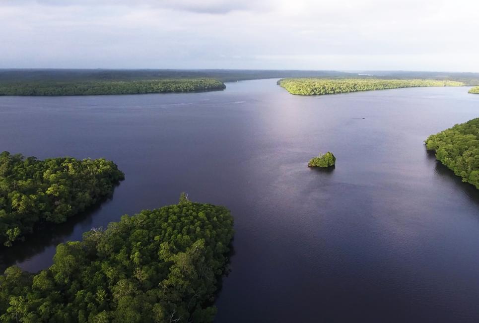
As forests in more easily accessible areas of Indonesia such as Java and Borneo have been cleared, increasing pressure for valuable timber species and land for growing crops like sugar has reached the shores of the Aru Islands. Aru Indigenous Peoples and Forest Watch Indonesia (FWI), a civil society organization, have been working together to monitor, document and halt illegal logging using satellite data.
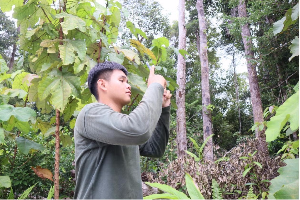
Using deforestation alerts from Global Forest Watch, FWI conducts desk analyses to identify priority locations for forest monitoring. They train Aru Forest Monitors on how to navigate to areas of forest where satellites detected recent clearings, using the Forest Watcher mobile app. They also document evidence of deforestation with the app by taking photos and recording written or audio observations of the causes of the clearing.
Forest Monitors then continually track the extraction of timber from these deforestation sites, oftentimes following the wood to local ports, photographing identifiable information of ships containing illegally harvested timber, and transmitting this information to FWI. The organization then synthesizes the information and passes it to Indonesian authorities, who can then intercept the ships when they dock in Java before reaching international waters. In February 2019, the evidence that Indigenous Forest Monitors documented prompted the Indonesian Ministry of Environment and Forestry to seize 38 containers of illegally harvested timber. High-profile examples like this can serve as a deterrent for future illegal logging.
Indigenous Communities in Peru Deploy Technology to Reduce Illegal Deforestation and Strengthen Land Rights
A two-year study in the Northeastern Amazon region of Peru found that communities who used satellite-based forest monitoring technologies and data significantly reduced deforestation on their lands.
Equipped with deforestation alerts accessed from Forest Watcher and Global Forest Watch, forest monitors representing 36 local communities patrolled their ancestral lands. They documented evidence of encroachment from illicit coca plantations and illegal logging, using satellite imagery, photos, written documentation and drone footage. The monitors presented this information in community assemblies to collectively determine what action to take. Depending on the situation, they then either asked the invaders to leave by showing evidence that they had crossed over into community lands, or submitted documentation to Peruvian law enforcement, who then followed up with official field investigations.
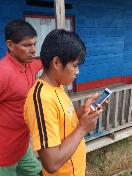
Ultimately, the communities that used forest monitoring technologies reduced deforestation in their territories by 52% in the first year and an additional 21% in the second year, as compared to a similar number of communities in a control group. The communities using monitoring technologies also reported higher satisfaction with forest governance.
Since the study concluded, communities with experience using monitoring technologies are now training communities in the control group to do the same. The communities who succeeded in reducing deforestation have also received direct payments from the Rainforest Foundation US’s Rainforest Alert program, a payment system for keeping forests conserved.
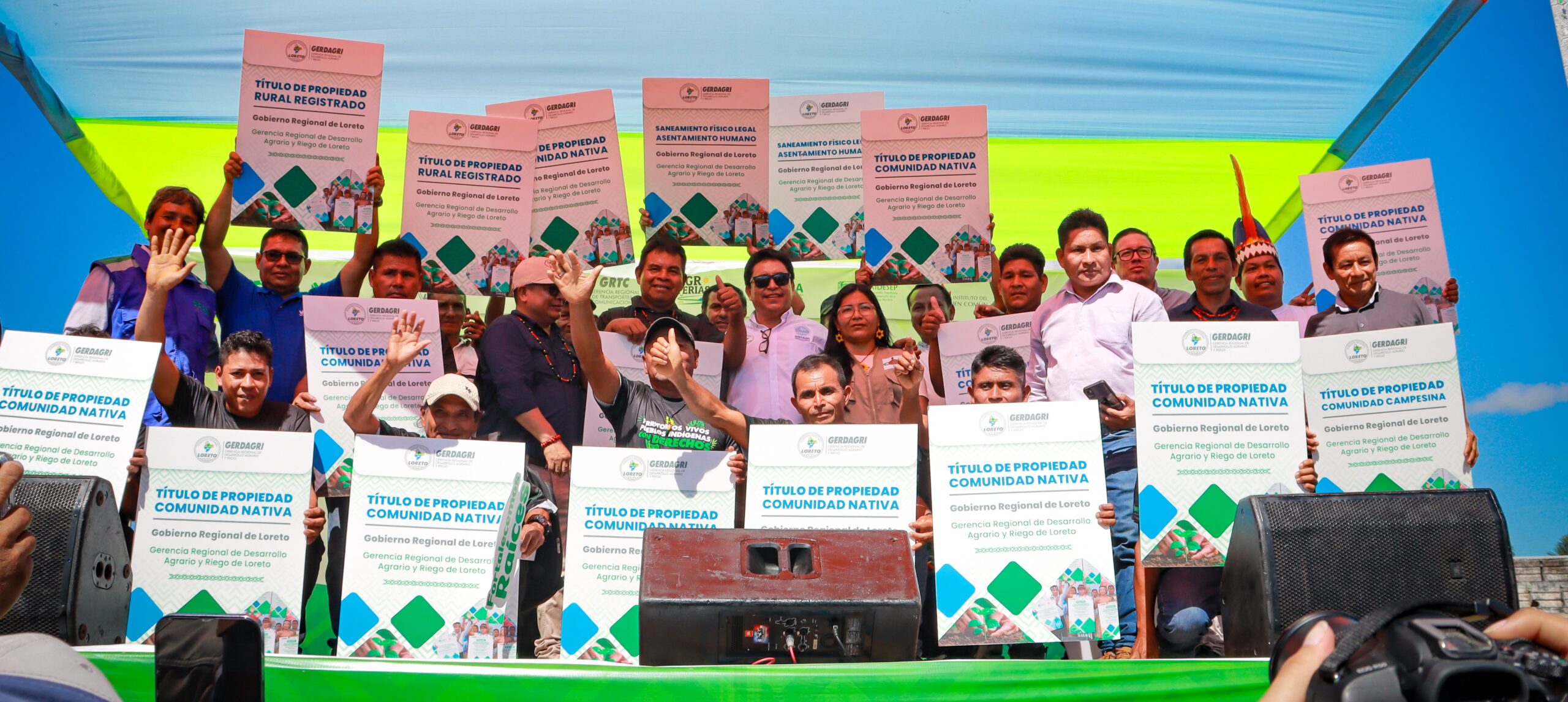
Most recently, some communities allocated that funding towards strengthening and expanding legal recognition of their ancestral lands. Community land titling in Peru is a slow and bureaucratic process. With the funds, communities were able to georeference the limits of their lands; contract soil analysts, lawyers and Geographic Information System (GIS) specialists; and petition the government for land titles. They succeeded in obtaining titles to their territories in just 10 months – a process that normally takes years or even decades.
Open Data Supports Communities, but More Secure Land Rights Are Essential
Satellite data and imagery are critical tools because they provide transparent, independent evidence of suspected violations. They allow communities to rapidly monitor and document forest disturbances over large areas and long periods of time at low cost, thus reducing expensive field patrols. Moreover, much of the monitoring and documentation can be done remotely from the safety of a laptop, without risking face-to-face confrontation with encroachers. This is especially important because environmental defenders face growing threats. In 2022, at least 177 environmental defenders were killed, 36% of whom were Indigenous.
Given the power of satellite data to help communities protect their land rights, data creators and managers need to ensure that communities continue to have access to open data and technology. Communities also need support in data use, including tailored training resources, financial support and facilitating the sharing of experiences.
However, while satellite data helps communities document and take action on illegal deforestation and related infractions, governments ultimately need to recognize and enforce Indigenous Peoples’ and communities’ land rights. Stronger and more secure land rights — with higher penalties for infractions — are more likely to deter illegal activity from occurring in the first place, or at least ensure a swift and decisive end to violations.
Indigenous Peoples and local communities have stewarded their lands and natural resources for centuries. Though more secure land rights are ultimately needed, satellite data can help them manage threats to their lands now and conserve their homes for generations to come.
