PARTNER POST: Mobile technology helps smallholder oil palm farmers move towards sustainability
By Mike Senior, Bella Sosa and Sophie Higman, Proforest
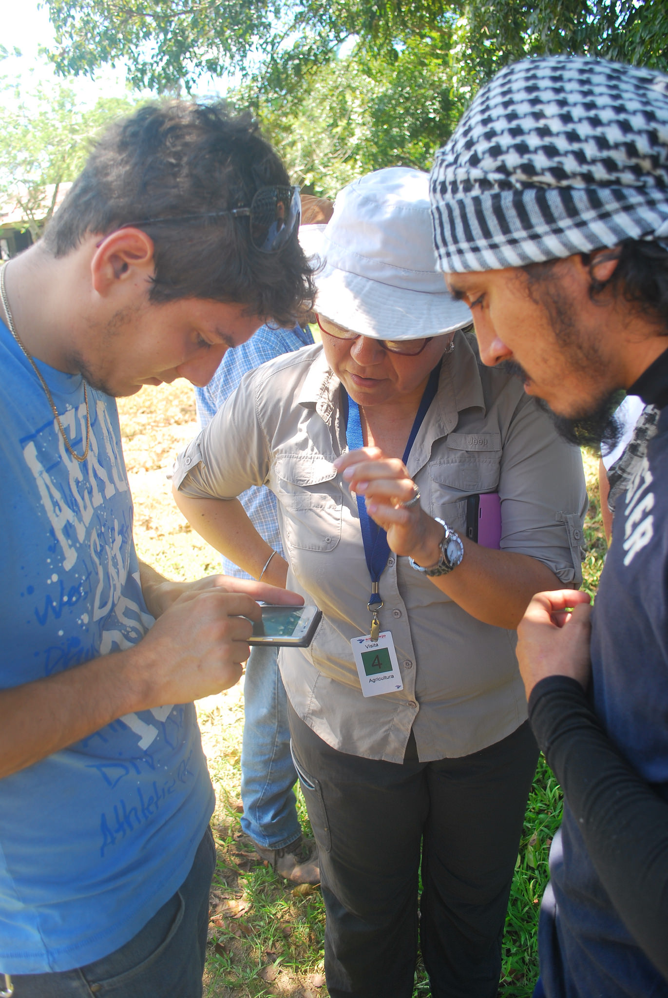
In Honduras, smallholders supply about 50 percent of all oil palm fruit bunches to mills. Although a critical source of income and rural livelihoods, such smallholdings can drive deforestation and have other adverse environmental and social impacts, such as pollution and poor labour standards. In a project funded by the Global Forest Watch (GFW) Small Grants Fund, Proforest has been trialing mobile technology to collect information from smallholder farmers and help them use forest data to better inform decisions that move them towards more sustainable oil palm production. We worked with smallholders from UNPALA, an association of smallholder palm oil producers, and Jaremar, a palm oil mill supplied by them. UNPALA and Jaremar hope to use mobile technology to move towards certification under the Roundtable on Sustainable Palm Oil (RSPO).
Simplifying complex data
A key challenge for many smallholder producers is understanding what “high conservation values” (HCVs)—such as rare or endangered species or unique forest ecosystems—might exist on their land and how to protect them. Our partner Daemeter, with support from Proforest, the HCV Resource Network and World Resources Institute, created maps showing the probability that HCVs exist in Honduras, using a variety of data, including GLAD annual tree cover loss and protected areas data on GFW. These maps identify large, little disturbed blocks of natural forest, protected areas, other nationally important ecosystems and connectivity corridors. Maps were also made for Ghana, Indonesia, Malaysia and Thailand, and will be shared on GFW when finalized.
Adapting and customizing survey technology
Working with partners Blue Raster and WRI, we adapted existing data collection apps—ESRI’s Collector for ArcGIS and Survey123 for ArcGIS—to use to survey smallholder farmers in the field. Blue Raster provided technical advice and helped build the mobile surveys by inputting questions in Spanish and uploading the HCV probability maps to the ESRI apps. Together the surveys aimed to:
- Identify smallholders’ needs for support (such as agricultural training or access to fertilizer) to improve their practices and livelihoods.
- Gather information about labour conditions on the smallholders’ farms.
- Map locations proposed for new oil palm plantations and cross reference these with potential HCVs.
- Map locations of farmers’ oil palm plots as evidence of land tenure and to monitor changes on individual farms.
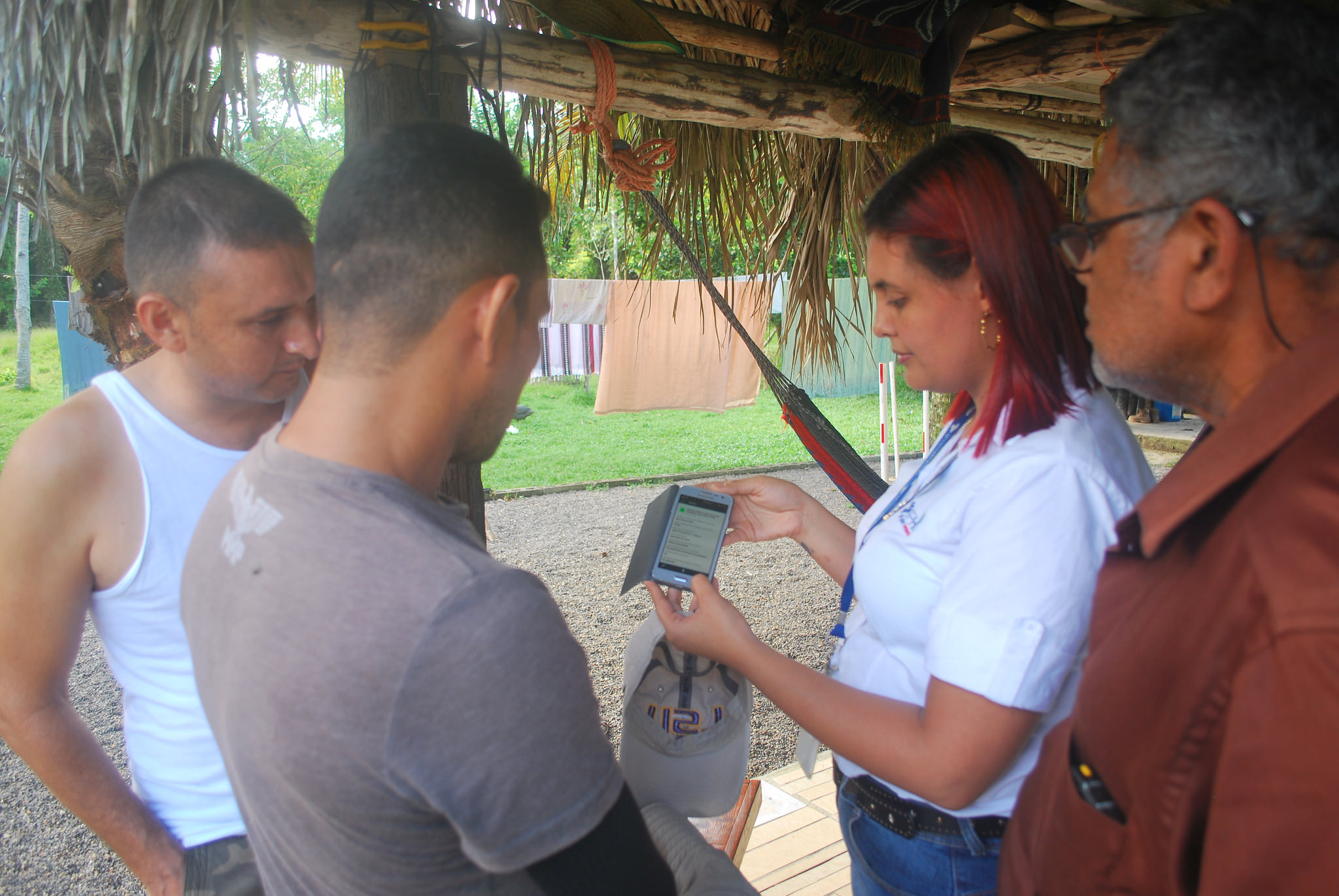
By using the ESRI apps, Jaremar technical staff and smallholder group managers from UNPALA were able to go to the smallholders in the field and easily collect data, regardless of internet connectivity.
Interpreting data

UNPALA needs this basic information to help smallholders secure their tenure rights or demonstrate there is no land conflict—criteria for certification schemes like RSPO. In many countries, there is no formal process for mapping individual or family land, so farmers need tools to help them document tenure on their own. In addition to the surveys, Blue Raster built a customized, web-based dashboard to:
- Visualize data layers, including farmers’ plots
- Summarize collected field data in lists and charts
- Filter results by question answers (e.g. availability of safety equipment, HCV status, etc.)
- Calculate farmers’ plot areas
- Export maps and data for reporting
The dashboard is critical as it enables users to easily review and interpret the data they’ve collected. This, in turn, helps them make better and quicker management decisions, and report progress more easily.
Field trial success
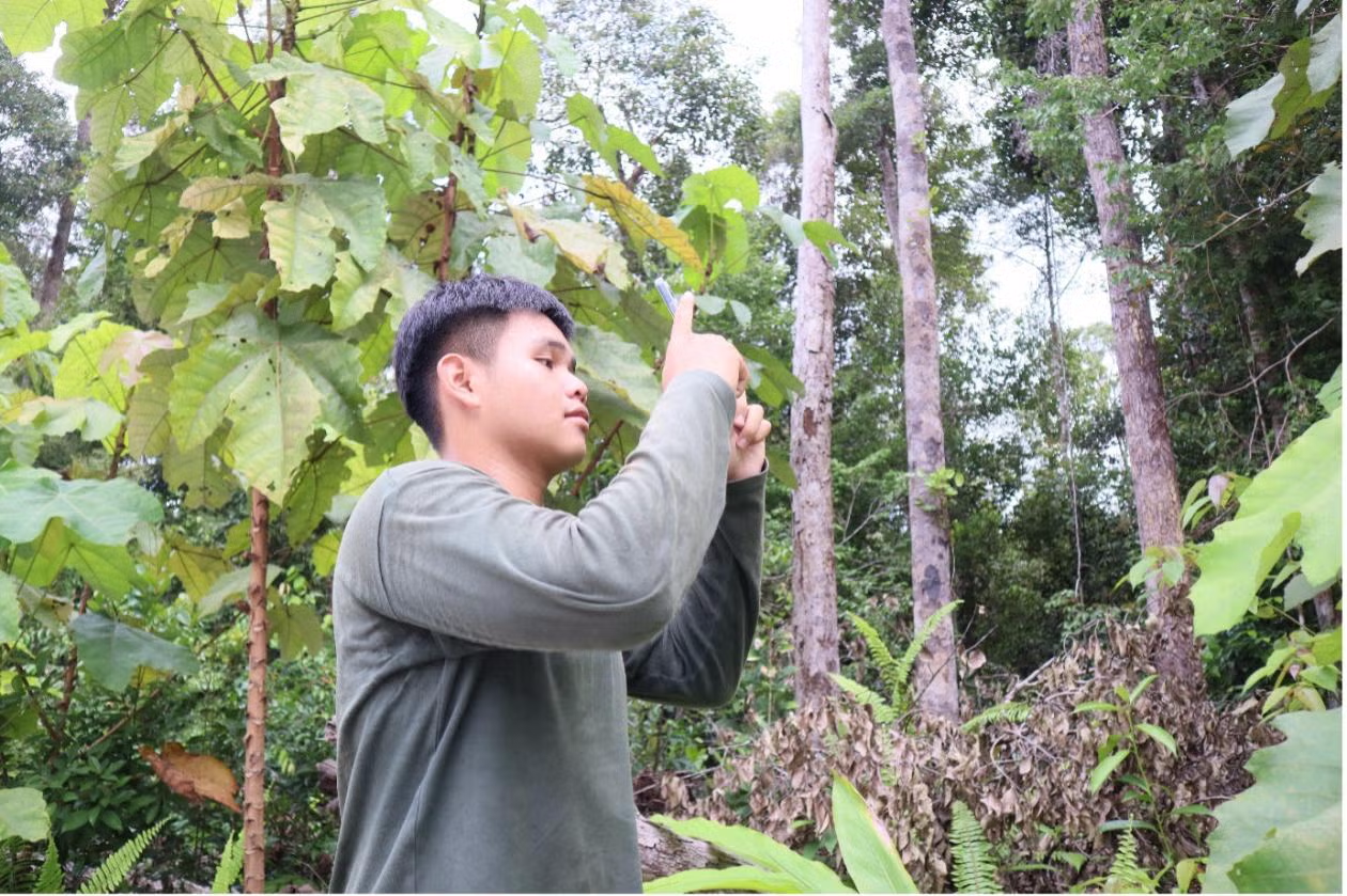
Working with members of the technical staff from Jaremar and smallholder group managers from UNPALA, we trialled the apps with a group of smallholder farmers in September 2016. Following a half-day training session, Jaremar and UNPALA staff, as well as some smallholder farmers themselves, were able to cross-reference areas proposed for oil palm expansion with the maps showing the potential HCV areas. They could then record the probability that HCVs exist on their land. The Jaremar and UNPALA team also used the apps to collect information about labour conditions and farmers’ needs. Once back in range of a mobile signal, the Jaremar and UNPALA team uploaded the field data to the dashboard to view, analyse and interpret it. Eventually, such a dashboard could also be used to produce reports for RSPO certification purposes. These might include basic maps about HCVs that should be protected in proposed expansion areas or survey data demonstrating that protective equipment was available for farm workers. Creating output maps is a particular challenge for smallholders, as it typically requires use of complex GIS software: the dashboard greatly simplifies this task.
A hit with farmers
The UNPALA and Jaremar staff immediately saw the possibilities of using the system to understand and manage deforestation and other sustainability risks. The farmers were enthusiastic about their ability to locate their plots on the maps. Where up-to-date satellite imagery was available, the technical team and farmers used it to pinpoint farm boundaries on the app in the field and discuss issues around their lands.
Training and support are essential
The trial highlighted the importance of training and support, both to get new users online and for existing users who need occasional trouble-shooting support. It was also clear that the effectiveness of the field survey process wasn’t just a result of the quality of the apps themselves. Some of the older, more experienced staff—who were often not the most technically savvy—had the most engaging manner with farmers, suggesting the need to train older technical staff and farmers to use mobile apps.
Scaling up
The field trial overcame problems of low connectivity, insufficient mobile phone capacity, out-of-date maps, and some users’ unfamiliarity with mobile apps to demonstrate the technology’s potential for supporting smallholder sustainability. Now the challenge is to scale up the technology and make the tools more widely available to smallholders around the world.
